
(file photo)
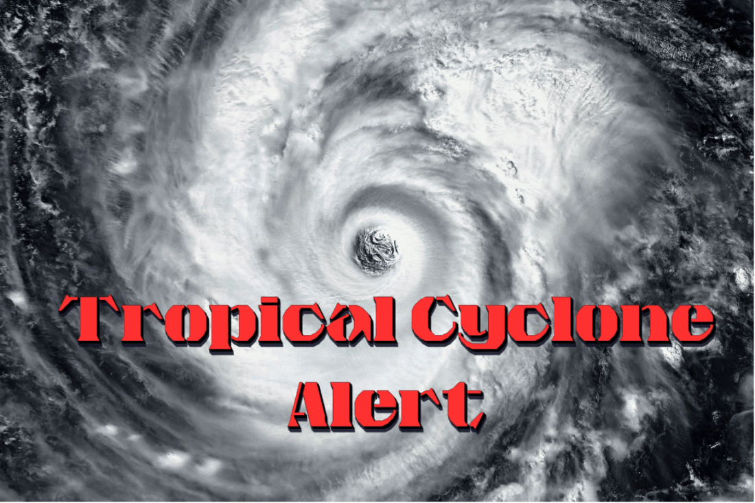
A Tropical Cyclone Alert is in effect for the Leeward Islands and British Virgin Islands as Tropical Storm Erin continues its westward path and is expected to strengthen into a hurricane by Friday.
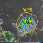
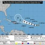
As of 8:15 AM Thursday, August 14, Tropical Storm Erin has entered the monitored area and is located approximately 904 miles east of the Leeward Islands. The storm is moving west at 17 mph with maximum sustained winds of 50 mph and higher gusts.
Weather officials report that Erin’s central pressure stands at 1002 mb, with storm-force winds extending 60 miles from the center. The system could pass dangerously close to the region late Friday night into Saturday.
Current forecasting models show the center of Erin is expected to pass north of the area. However, meteorologists warn that a shift southward could bring the storm uncomfortably close to the islands.
")
Areas at highest risk include Anguilla and parts of the British Virgin Islands, where storm wind chances reach up to 45%. Other locations in the region face lower probability but remain under watch.
A Tropical Storm Watch may be issued later today or tonight as conditions continue to develop.
Residents and visitors should prepare for heavy rainfall and strong gusty winds as the storm approaches. Coastal areas are advised to stay alert as swells and rough seas will increase.
While no watches or warnings have been issued yet, authorities urge the public to stay alert and be prepared for changing conditions.

I’m urging everyone to take the official warnings seriously. Get your preparations done now, and don’t wait until the last minute.
Please be safe everyone and dont take this for granted. better be safe than sorry
Sea already looking rough on my side. Nature don’t play.
Already stocking up on water and batteries. You never know with these systems.
People please be on your alert. Dont trust these weather paterns there are dangerous, Just enough water could cause havoc