
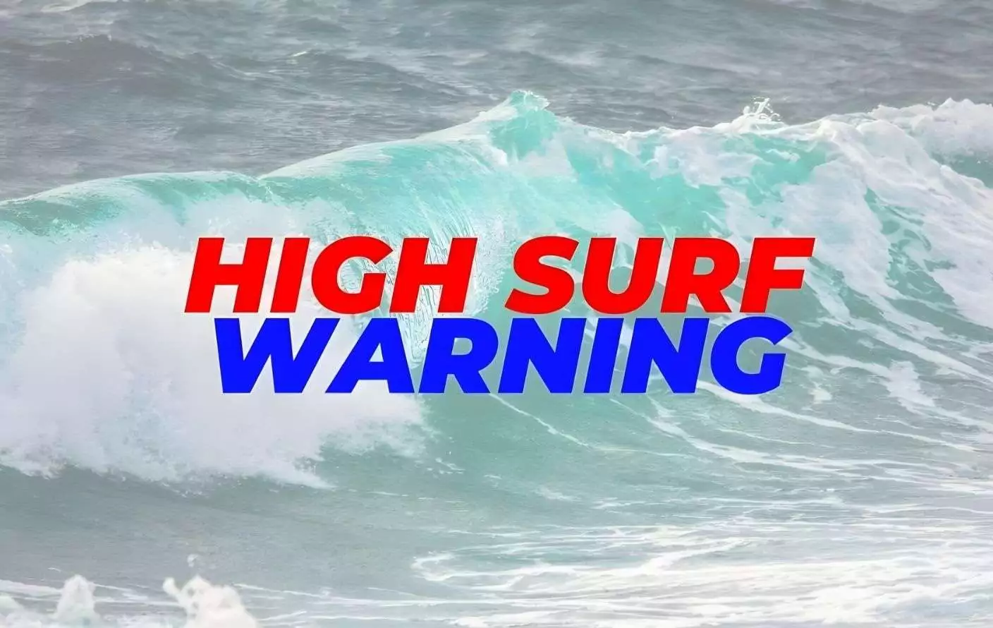
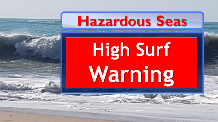
The Meteorological Office has issued a High Surf Warning for Barbuda, Anguilla and the British Virgin Islands as dangerous long-period swells move into the northeastern Caribbean, creating life-threatening marine conditions along exposed coastlines.
The warning takes effect Sunday night through Tuesday night for the British Virgin Islands, from midnight Sunday through Tuesday midnight for Anguilla, and from Monday morning until pre-dawn Wednesday for Barbuda.
According to the Meteorological Office, rising moderate long-period swells are generating very hazardous conditions, particularly along northern and northwestern-facing coastlines with shallow, gently to moderately sloping nearshore areas. Reefs and exposed coastal zones are expected to be significantly impacted.
Seas are forecast to range between 2.4 and 3.1 metres (8 to 11 feet), occasionally peaking near 4.0 metres (13 feet). Swell periods of 12 to 15 seconds are expected, with north-northwest swells reaching 2.4 to 3.4 metres (8 to 11 feet) and occasionally higher.
Breaking waves along affected coastlines are projected to exceed 3.1 metres (10 feet), with the potential to reach twice the height of offshore swells depending on coastal bathymetry.
Forecasters warn that these conditions are highly conducive to dangerous rip currents and battering surf, posing a high threat level to life, livelihoods, property and infrastructure in affected areas.
Potential impacts include strong currents capable of sweeping even experienced swimmers out to sea, injuries to beachgoers, beach erosion, coastal flooding of low-lying roads, harbour navigation challenges, disruptions to marine recreation and businesses, and financial losses. There is also the risk of damage to coral reefs and saltwater intrusion that could affect desalination systems and potable water supplies.
High tides combined with onshore winds and swell action are expected to increase the likelihood of coastal flooding and beach erosion. Spectators along rocky shorelines, jetties and piers are also at risk, as powerful waves can knock individuals into the sea.
The Meteorological Office strongly advises that no one enter the waters in the main warning areas.
Residents and visitors are urged to avoid rocky shorelines and coastal structures along affected coastlines. Bathing should be limited to beaches on the southern and eastern sides of the islands where conditions are less severe, and preferably only where lifeguards are present. Even in these areas, extreme caution is required.
Please be safe all. This wind is not easy
Take hid and be safe